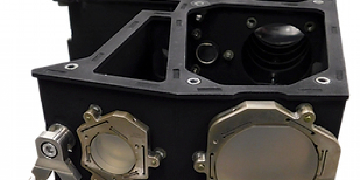
Remote sensing engineering combines advanced technology with creative problem-solving to capture and analyze data from remote locations. Its applications span from space exploration to agricultural monitoring, offering invaluable insights into Earth and beyond. Quartus Engineering has emerged as a leader in this field, pioneering cutting-edge solutions tailored to airborne, ground-based, and spaceborne environments.
The Foundation of Remote Sensing
At its core, remote sensing engineering relies on the interaction of electromagnetic waves with objects to gather information. This can be achieved through active methods, such as LiDAR, or passive methods, like thermal imaging. The success of these systems hinges on precision design and robust testing protocols, both of which are hallmarks of Quartus Engineering's approach.
Diverse Capabilities in Remote Sensing Systems
Remote sensing systems are categorized by their operational environments and sensing methods. Key areas of focus include:
- Ground-Based Systems
These systems are ideal for early-stage demonstrations and validation of sensing technologies. Ground-based instruments also serve as reference points for calibrating airborne and spaceborne systems. - Airborne Systems
Airborne systems provide an intermediate platform for remote sensing, offering higher mobility and broader coverage than ground systems. They are particularly useful for mapping, surveillance, and environmental studies. - Spaceborne Systems
CubeSats and SmallSats equipped with remote sensing instruments offer cost-effective solutions for long-term data collection. Quartus Engineering specializes in creating compact systems capable of operating in harsh space environments.
Innovations in Optical and Electronics Design
Remote sensing instruments demand high levels of precision and reliability. Quartus Engineering addresses these challenges through:
- Advanced Optical Designs: Combining sequential and non-sequential optics to optimize imaging performance.
- High-Speed Electronics: Developing laser diode drivers and control systems to ensure real-time data accuracy.
- Robust Stray Light Suppression: Mitigating interference for clear and precise data capture.
Accelerating Development with Proven Models
By employing validated design paradigms, such as the STOP analysis used in the SAGE IV Pathfinder telescope, Quartus Engineering ensures the rapid development of optical payloads. These proven methodologies allow for customization while reducing the risk of failure, making it possible to adapt designs to a variety of missions and parameters.
Industry Applications
The versatility of remote sensing engineering extends to several sectors:
- Climate Research: Monitoring global temperature trends and greenhouse gas emissions.
- Urban Planning: Mapping urban growth and resource distribution.
- Disaster Management: Providing real-time data for emergency response efforts.
Conclusion
Quartus Engineering expertise in remote sensing engineering underscores its commitment to advancing the field. With an emphasis on innovation, reliability, and precision, they continue to deliver systems that meet the demands of modern data acquisition. Their work not only addresses current challenges but also lays the groundwork for future exploration and discovery.


